Aerial photographs
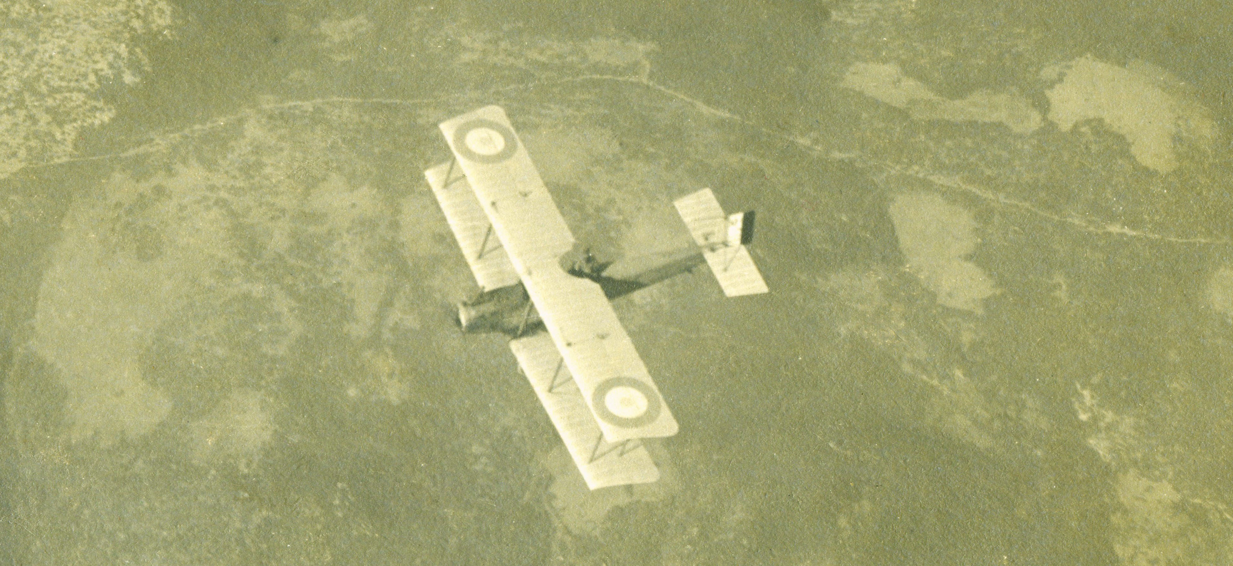
Since the beginning of the development of aviation, one of the important segments of aviation is aerial photography. In fact, the largest segment of the military aviation relies on aerial photography as a tool for terrain reconnaissance, map making and troop observation.
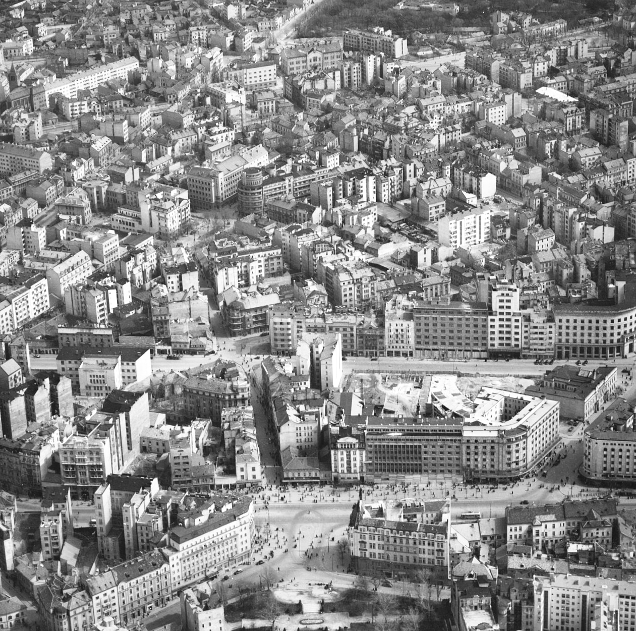
The collection of aerial photographs contains a large number of large-format aerial photographs from different parts of Serbia and the territory of the former Yugoslavia. They cover different time periods, where you can clearly see the change of terrain and the development of cities.
Aerial photographs provide a kind of insight into the technical development and progress of the cameras themselves, which were initially hand-held and later became an integral part of aircraft. The collection is divided by geographical entities. Numerous aerial photos from this fund have already been used for the needs of various exhibitions, as illustrations in books, historical works, scientific and newspaper articles dealing with this topic, which testifies to their importance.